
Cameron Station Boulevard
a.k.a. Cameron Station Boulevard
45-acre civic park laid out across the former parade-ground center of 4800 Duke Street 4800 Duke Street 164-acre former U.S. Army installation on Duke Street, active 1942–1995. Headquartered the Defense Logistics Agency, the Defense Mapping Agency, and elements of the U.S. Army … during the 1998–2002 LCOR redevelopment of the parcel. Named for Ben Brenman, an Alexandria civic figure connected with the redevelopment-era city government.
- 2000approx
- Civic park / mixed-use open space
- Extant
Place narrative
Ben Brenman Park is a 45-acre civic open space at the geographic center of the redeveloped 4800 Duke Street 4800 Duke Street 164-acre former U.S. Army installation on Duke Street, active 1942–1995. Headquartered the Defense Logistics Agency, the Defense Mapping Agency, and elements of the U.S. Army … parcel. It was laid out across the former parade-ground / open- space center of the 1942–1995 U.S. Army installation during the 1998–2002 redevelopment cycle that converted the post into the present Cameron Station residential community. The park anchors the redevelopment’s civic core alongside the adjacent Charles E. Beatley Jr. Central Library, named for Charles E. Beatley Jr. Charles E. Beatley Jr. b. 1916 · d. 2006 Two-term mayor of Alexandria, Virginia (1976–1979 and 1985–1991); namesake of the Charles E. Beatley Jr. Central Library at 5005 Duke Street on the redeveloped parcel. Career … .
The park’s name honors Ben Brenman, an Alexandria civic figure connected with the redevelopment-era city government. Brenman’s full biographical record — living/deceased status, dates, exact role and tenure in Alexandria municipal government — is a research target for a future deepening pass against Alexandria Library Special Collections city-government records and contemporary Alexandria-press coverage of the Cameron Station redevelopment. [1] Alexandria Library Special Collections Manuscript
Today the park hosts community recreation, neighborhood events, and pass-through trail traffic between the Cameron Station residential blocks. It is one of the larger civic parks in western Alexandria.
Timeline
No occupancies or events recorded yet for this place. Contribute a record →
The building
- Civic park / mixed-use open space
No images yet — contribute a photo.
Nearby in time
2461 Eisenhower Avenue 2461 Eisenhower Avenue
Mid-rise office building completed 1968 at 2461 Eisenhower Avenue — the first major structure on the seventy-acre Eisenhower Valley parcel …
9000 Richmond Highway 9000 Richmond Highway
Federal-style brick mansion built 1800–1805 by and on a 2,000-acre tract carved from the Mount Vernon estate as their wedding gift from .
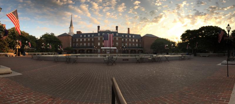
Market Square and Alexandria City Hall at sunrise, July 2017 — the brick plaza dressed for the Fourth of July with the American flag hung from the central facade. © KingSt.com, July 2017 301 King Street
Alexandria's seat of municipal government, market house, and — for most of the nineteenth century — the lodge hall and museum of , which …
Placeholder illustration of Interarms Hq 10 Prince Street. Seed placeholder — KingSt.com, 2026. To be replaced with archival photograph. 10 Prince Street
Former office of International Armament Corporation (Interarms) at the foot of Prince Street; administrative headquarters of Samuel …
Nearby in space
4800 Duke Street 4800 Duke Street
164-acre former U.S. Army installation on Duke Street, active 1942–1995. Headquartered the Defense Logistics Agency, the Defense Mapping …
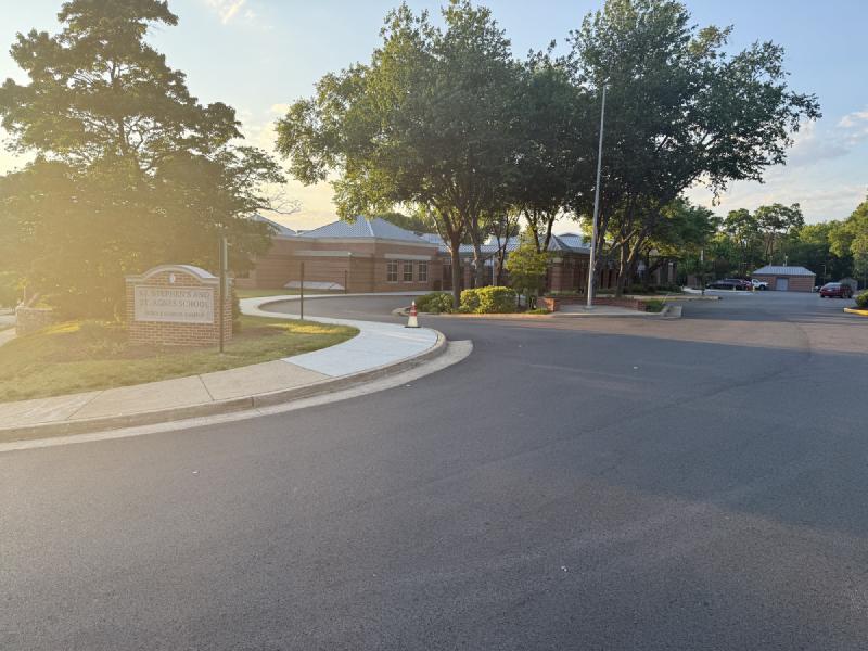
St. Stephen's and St. Agnes Middle School Campus on West Braddock Road at sunrise — the entrance sign and the brick academic buildings beyond, back-lit by golden-hour light. © KingSt.com, 2024 4401 West Braddock Road
Middle School (grades 6–8) of St. Stephen's & St. Agnes since the late 1990s, on the West Braddock Road campus that previously housed …
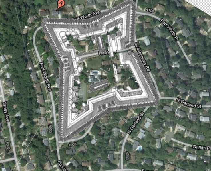
The 1864 Fort Worth engineering plan superimposed on modern Seminary Ridge satellite imagery — the fort's star-shaped earthwork still imprinted on today's residential street grid. Composite by KingSt.com (1864 NARA plan over modern aerial), 2026 Seminary Hill (off Seminary Road, near St. Stephens Road)
Layered Seminary Hill site that was the country estate "Muckross" of Burke & Herbert Bank co-founder Arthur Herbert, the Civil War earthwork …
1000 Saint Stephens Road 1000 Saint Stephens Road
Upper School (grades 9–12) of St. Stephen's & St. Agnes School, occupying the Saint Stephens Road campus opened in January 1957 by St. …
Now
No current occupant on file. Are you, or someone you know, the present occupant? Claim this place to add operating hours, a current photo, and a short note.
Sources
- 1.
Alexandria Library, Local History/Special Collections, Barrett Branch, Alexandria, Virginia.
Manuscript
See something wrong?
Every correction is logged dated to this page. Family history, old photographs, or a citation we missed — everything goes into the file.