
1220
Wilkes Street
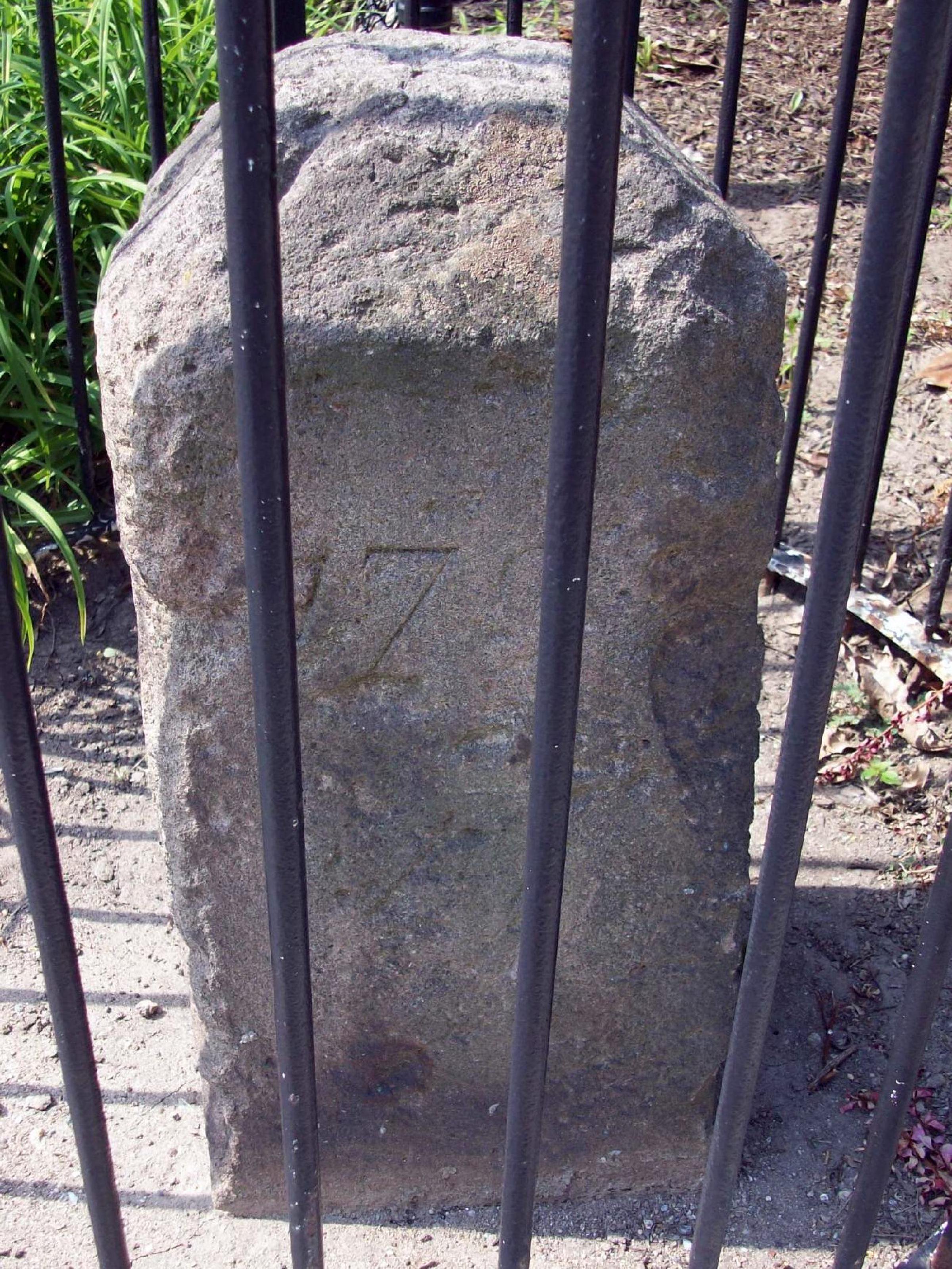
Sandstone boundary marker placed 1791 to mark the southwest corner of the original District of Columbia diamond. NRHP-listed 1991.
- Extant
- National Register of Historic Places
No images yet — contribute a photo.
Nearby in time
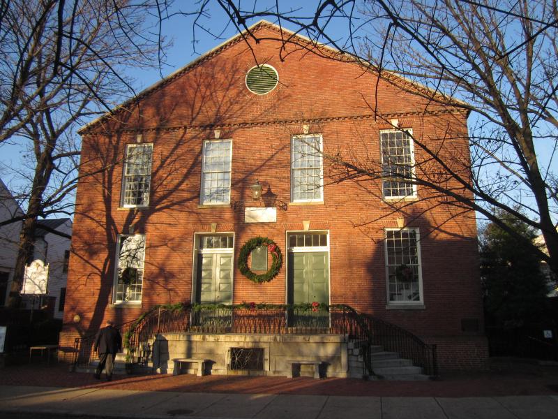
Doug Kerr from Albany, NY, United States · via Wikimedia Commons · CC BY-SA 2.0 321 South Fairfax Street
Brick Presbyterian meeting house begun in 1775; site of the city's memorial services for George Washington on December 29, 1799, four days …
The c. 1741 manor house of on the southern Northern Neck proprietary tract — social anchor of the colonial Fairfax–Washington circle, where …

Bruce Andersen from Washington, DC · via Wikimedia Commons · CC BY-SA 2.0 Fifth of the original DC southwestern boundary stones, near the Arlington line. NRHP-listed 1991.
Bruce Andersen from Washington, DC · via Wikimedia Commons · CC BY-SA 2.0 King Street
Fourth of the original DC southwestern boundary stones; the marker straddles the Alexandria-Arlington line. NRHP-listed 1991.
Nearby in space
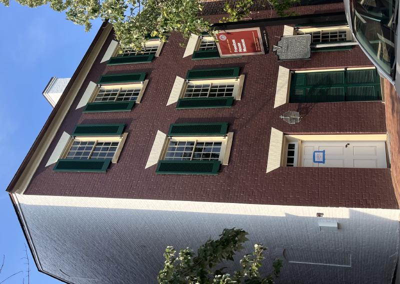
Theodore Christopher · via Wikimedia Commons · CC0 1315 Duke Street
Federal-style brick house at 1315 Duke Street built in the 1810s by Brigadier General Robert Young of the DC Militia; from 1828 to 1837 the …
1200 Duke Street 1200 Duke Street
Headquarters of T. J. Fannon & Sons at 1200 Duke Street, the Alexandria heating-fuel firm founded by Thomas J. Fannon as a wood-and-coal …

Placeholder illustration of Louverture Hospital Site. Seed placeholder — KingSt.com, 2026. To be replaced with archival photograph. 219 South Payne Street
Union Army hospital established in February 1864 for U.S. Colored Troops and Black civilian refugees in occupied Alexandria. Named for …
Placeholder illustration of Alexandria National Cemetery. Seed placeholder — KingSt.com, 2026. To be replaced with archival photograph. 1450 Wilkes Street
One of the original fourteen national cemeteries established in 1862, interring Union dead from the Civil War, including United States …
Now
No current occupant on file. Are you, or someone you know, the present occupant? Claim this place to add operating hours, a current photo, and a short note.
Wilkes Street
Named for John Wilkes — English politician and Patriot ally, c. 1796.
Interpretive signs nearby
The City of Alexandria has installed 1 historical interpretive sign within walking distance of this place. Each link below opens the sign's page on this site, with the full image and trail context.
Douglass Cemetery, Wilkes St
See something wrong?
Every correction is logged dated to this page. Family history, old photographs, or a citation we missed — everything goes into the file.